Crop Monitoring Data
Get more out of your crop monitoring data
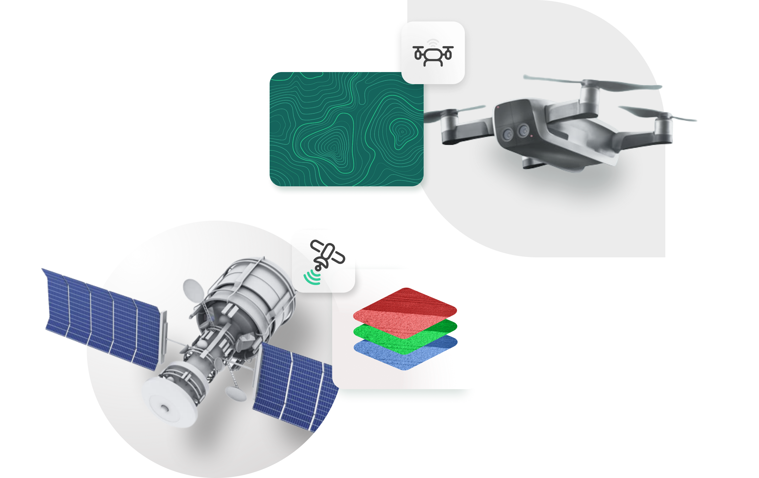
Receive standardized and aggregated multispectral imagery from preferred satellite and drone imagery providers.

Crop Monitoring Data
Get more out of your crop monitoring data
Receive standardized and aggregated multispectral imagery from preferred satellite and drone imagery providers.

Unlock a complete crop monitoring program
Simplifying access to crop monitoring data
Accurate crop monitoring data is crucial, but accessing and processing it from preferred providers can be challenging. Leaf’s unified API simplifies this by delivering data in a consistent, processed, and standardized format.
Many different providers
We are constantly evaluating the addition of new imagery providers to our list of connected providers. We are currently connected with Planet Labs, Sentinel 2 and Sentera. Is one of your preferred partners not in this list yet? Let us know by contacting our team!
Many different uses
Access to crop monitoring data is crucial for the accuracy of various applications, from farm management systems and farmland valuation tools to carbon MRVs, traceability apps, crop insurance platforms, and more.
Increasing speed-to-market
Speed-to-market is crucial for technology providers. Time spent developing back-end infrastructure delays product launch and risks falling behind competitors. Leaf helps providers focus on building and selling their product faster by handling the back-end infrastructure, saving time and accelerating market entry.

Easy access to customer-ready images
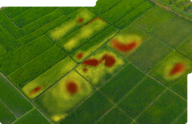
Maintaining API connections with imagery providers is resource-intensive for businesses. Leaf's unified API simplifies this by delivering processed, standardized crop monitoring data from multiple sources, ready for any geospatial product. Leaf handles imagery acquisition, processing, and maintenance, easing the burden on engineering teams. Developers can easily retrieve customer-ready images for any field by registering a field boundary with a backfill date and provider—Leaf returns cropped, color-corrected RGB, NDRE, and NDVI images whenever available.

Focus on customer value
The complexity of crop monitoring data and lack of industry standards force many tech providers to build back-office infrastructure to handle data from various satellite and drone providers. With Leaf, this burden is lifted. Leaf delivers all crop monitoring data in a processed, consistent, and standardized format through a single API, allowing providers to focus on product development and customer value. Leaf's standardized multiband .tif files combine all satellite image bands into one file, saving time and streamlining operations.

Simplify use cases
Technology providers connecting directly with remote sensing companies' APIs face tough decisions: which companies to connect with, which have the largest footprint, and which offer the best data quality. These choices often exclude potential customers who prefer different data providers. With Leaf, these challenges disappear. By connecting to Leaf's API, providers gain access to multiple crop monitoring data sources, eliminating the need for multiple API connections and ensuring broader customer reach with just one integration.
Crop monitoring sources
Planet labs
- Atmospherically Corrected 3M Resolution
- Visual Color
- NDVI
- NDRE
- Individual Bands RGB, NIR, RedEdge
- Usable Data Mask
Sentinel 2
- 10M Resolution
- Individual Bands
- NDVI
- RGB
- NDRE
Sentera
- RGB
- NDVI
- Stand Count
- Tassel Count


