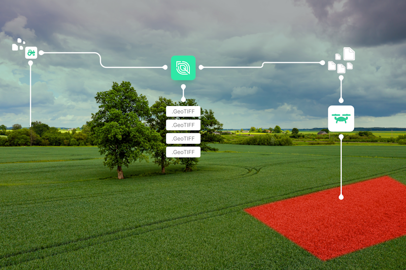
Standardizing field operations files from all major manufacturers into GeoJSON has been one of Leaf’s core features since we started. We’ve now taken this process one step further and are making these files available in GeoTIFF format as well.
What does this mean?
You’ve always been able to access PNG images of your field operations files, but the drawback of PNG files is that they have a fixed color ramp that is set through a standard distribution algorithm. A PNG is a non-spatial format, meaning that no latitude and longitude data is associated with data, and the way the data is visualized cannot be changed by the user.
GeoTIFF on the other hand is a raster data format file with embedded georeferencing, where we reference the points as pixels. GeoTIFF is the main file format used for satellite and drone imagery, so I’m sure you’re familiar with it already.

How does this change benefit me?
With GeoTIFF images you get the ‘picture and the data’ in the same file, meaning that you’ll have a lot more options to offer to your users. Similar to how you can present satellite imagery to your users, you can now provide them more options to view these operational images. You will now have control over how these images are displayed to your customers, including options like changing the color scheme or distribution of data points to optimize visualization for them.
From plant population maps to speed, down force, yield, rate applied and any other field operations property, I can already imagine so many different ways in which GeoTIFFs will benefit you as a Leaf client and your users in the field! If you have any questions about GeoTIFFs for field operations or how you can access them, please don’t hesitate to contact me.


